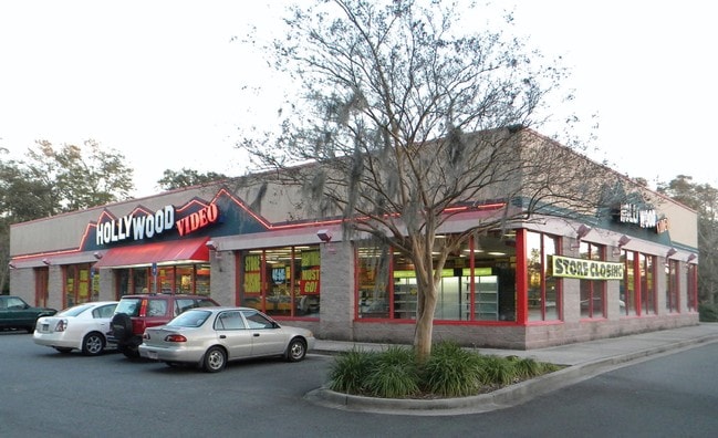
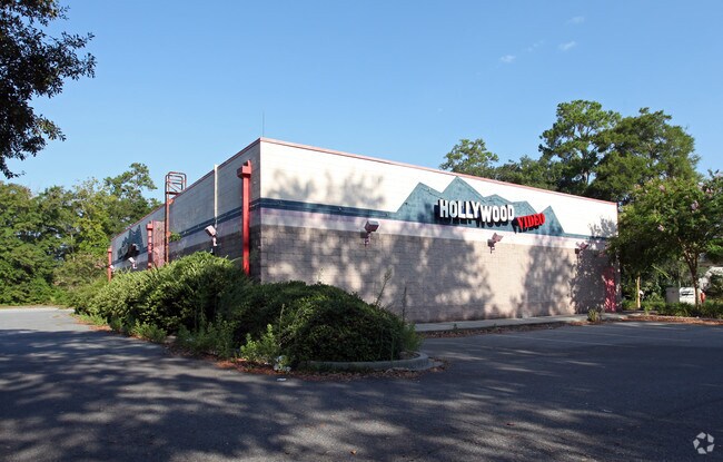
Property Record
4753 Us Highway 80 E, Savannah, GA 31410

NEARBY LISTINGS FOR SALE OR LEASE
Property Detail
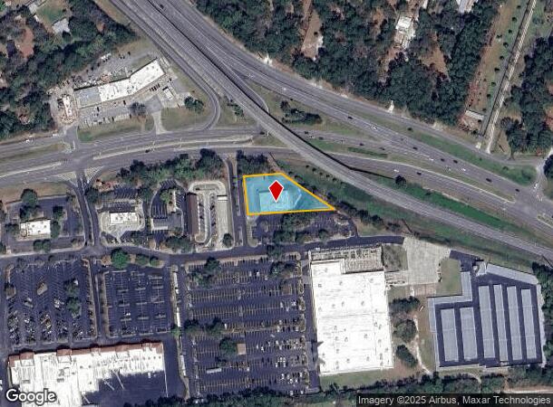
4753 Us Highway 80 E
Savannah, GA
Sub
1011501015
LOT 5 ISLAND TOWNE CENTRE RESUB OF LOTS 3 & 4 ISLAND TOWNE CENT
Storebuilding
Chatham
X
Georgia
45053C0550D
5,3-4
2024
0.73 AC
2025
Outer Islands
011114
Savannah
6,656 SF
DEMOGRAPHICS near 4753 Us Highway 80 E
1 Mile
3 Mile
5 Mile
2024 Total Population
4,851
17,729
63,904
2029 Population
5,017
18,273
65,867
Pop Growth 2024-2029
+ 3.42%
+ 3.07%
+ 3.07%
Average Age
42
44
41
2024 Total Households
2,209
7,700
25,937
HH Growth 2024-2029
+ 3.49%
+ 3.21%
+ 3.25%
Median Household Inc
$73,869
$74,255
$65,514
Avg Household Size
2.20
2.30
2.30
2024 Avg HH Vehicles
2.00
2.00
2.00
Median Home Value
$298,920
$339,721
$269,482
Median Year Built
1994
1987
1975
Nearby Places
Map Layers
Map Styles
 Street
 Aerial
- Restaurants
- Banks
- Shops
- Fitness
- Groceries
PUBLIC TRANSPORTATION
AIRPORT
Savannah/Hilton Head International
DRIVE
WALK
Distance
Savannah/Hilton Head International
27 min
16.1 mi
Hilton Head
DRIVE
WALK
Distance
Hilton Head
68 min
43.6 mi
Freight Ports
Georgia Ports - Savannah
DRIVE
WALK
Distance
Georgia Ports - Savannah
20 min
11.9 mi
SALE & LEASE HISTORY
LISTING DATE
SALE/LEASE

Nov 30, 2017
For Sale
Nov 27, 2018
For Lease
Nearby Properties
Address
Land Use
TOTAL SIZE
Lot Size
Zoning
Address
Land Use
TOTAL SIZE
Lot Size
Zoning
26,388 SF
27.95 AC
PUD
Address
Land Use
TOTAL SIZE
Lot Size
Zoning
6,192 SF
22.02 AC
PUD
Address
Land Use
TOTAL SIZE
Lot Size
Zoning
8,112 SF
17.89 AC
R1
Address
Land Use
TOTAL SIZE
Lot Size
Zoning
5,760 SF
20.03 AC
R1
Address
Land Use
TOTAL SIZE
Lot Size
Zoning
92,763 SF
32.07 AC
RA
Address
Land Use
TOTAL SIZE
Lot Size
Zoning
20,668 SF
15.60 AC
R1
Address
Land Use
TOTAL SIZE
Lot Size
Zoning
17,324 SF
724.70 AC
I-H
Address
Land Use
TOTAL SIZE
Lot Size
Zoning
6,960 SF
9.06 AC
C1
Address
Land Use
TOTAL SIZE
Lot Size
Zoning
29.35 AC
RA-BN
Address
Land Use
TOTAL SIZE
Lot Size
Zoning
42,658 SF
10.13 AC
PBC
Address
Land Use
TOTAL SIZE
Lot Size
Zoning
15,250 SF
10.79 AC
PUDIS
Address
Land Use
TOTAL SIZE
Lot Size
Zoning
13,229 SF
20.64 AC
TB
Address
Land Use
TOTAL SIZE
Lot Size
Zoning
840 SF
51.68 AC
PUDM
Address
Land Use
TOTAL SIZE
Lot Size
Zoning
4,478 SF
4.81 AC
I-H
Address
Land Use
TOTAL SIZE
Lot Size
Zoning
90,003 SF
1.80 AC
Address
Land Use
TOTAL SIZE
Lot Size
Zoning
41,353 SF
5.23 AC
PBC
Address
Land Use
TOTAL SIZE
Lot Size
Zoning
31,522 SF
6.03 AC
PR3-16
Address
Land Use
TOTAL SIZE
Lot Size
Zoning
29,242 SF
5.38 AC
TB
Address
Land Use
TOTAL SIZE
Lot Size
Zoning
14,601 SF
4.15 AC
RA-BN
Address
Land Use
TOTAL SIZE
Lot Size
Zoning
9,384 SF
10.06 AC
Address
Land Use
TOTAL SIZE
Lot Size
Zoning
17,842 SF
20 AC
RA
Address
Land Use
TOTAL SIZE
Lot Size
Zoning
3,828 SF
119.20 AC
R1
Address
Land Use
TOTAL SIZE
Lot Size
Zoning
2,400 SF
6.43 AC
PBC
Address
Land Use
TOTAL SIZE
Lot Size
Zoning
97,321 SF
13.56 AC
PBC
Address
Land Use
TOTAL SIZE
Lot Size
Zoning
39,903 SF
2.67 AC
PSC
Address
Land Use
TOTAL SIZE
Lot Size
Zoning
2,876 SF
7.41 AC
TB/CM/EO
Address
Land Use
TOTAL SIZE
Lot Size
Zoning
120.17 AC
PUDM
Address
Land Use
TOTAL SIZE
Lot Size
Zoning
36,834 SF
3.55 AC
PSC
Address
Land Use
TOTAL SIZE
Lot Size
Zoning
0.36 AC
PUD-IS
Address
Land Use
TOTAL SIZE
Lot Size
Zoning
1,400 SF
90 AC
R1
The World's #1 Commercial Real Estate Marketplace
Connect with us
© 2025 CoStar Group
The information above has been obtained from sources believed reliable. While we do not doubt its accuracy we have not verified it and make no guarantee, warranty or representation about it. It is your responsibility to independently confirm its accuracy and completeness. Any projections, opinions, assumptions, or estimates used are for example only and do not represent the current or future performance of the property. The value of this transaction to you depends on tax and other factors which should be evaluated by your tax, financial, and legal advisors. You and your advisors should conduct a careful, independent investigation of the property to determine to your satisfaction the suitability of the property for your needs.